Sydney Light Rail and Ferry Network
Transport for New South Wales embarked on an ambitious project to overhaul wayfinding infrastructure across New South Wales and Sydney, a city of 4.5 million people. Working in close collaboration with the Customer Experience Division, Dotdash undertook the challenge of designing a consistent, recognisable and flexible wayfinding system for deployment across the entire Sydney Light Rail and Ferry networks.
-
ExpertiseWayfinding, Masterplan
-
SectorTransport
-
ClientTransport for New South Wales
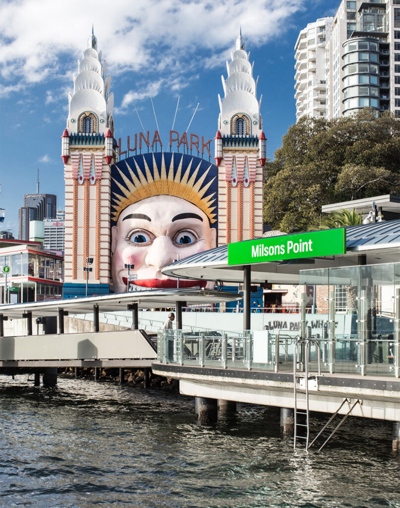

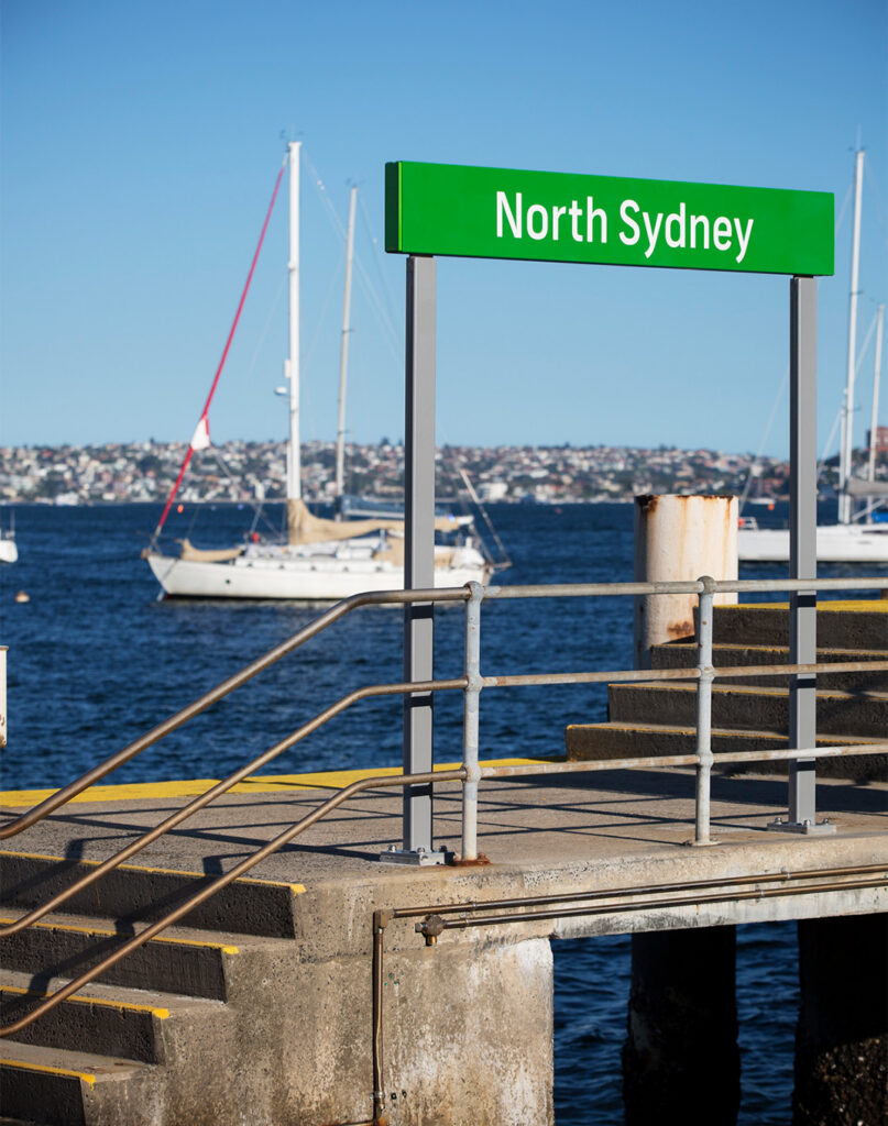
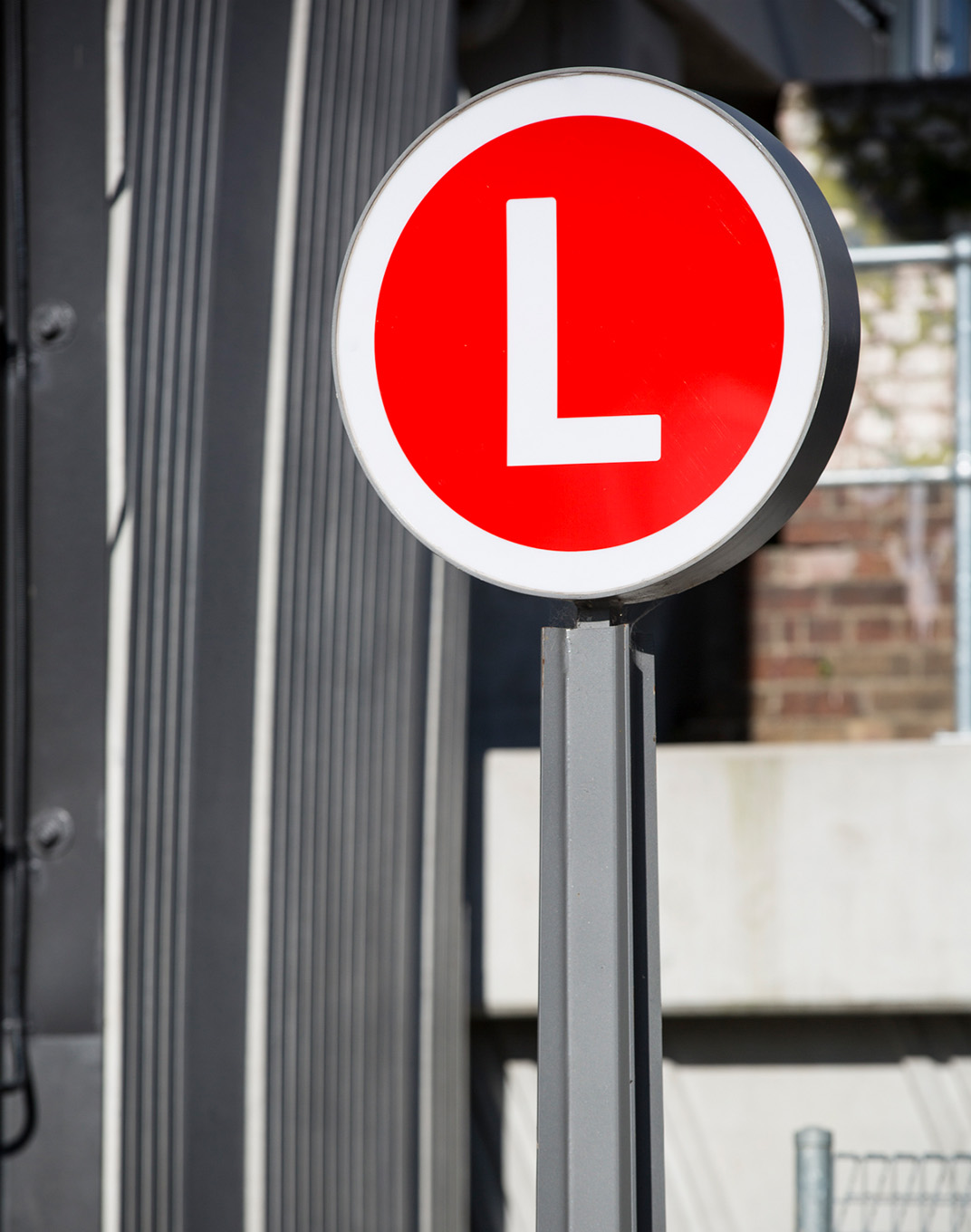
The program introduced an integrated signage and wayfinding system spanning all transport modes, aligned with maps, websites, apps, digital platforms, and other communication channels. Clear mode identifiers, using colour-coded letter icons for trains, buses, ferries, and light rail, provide immediate legibility and reassurance for both residents and visitors.
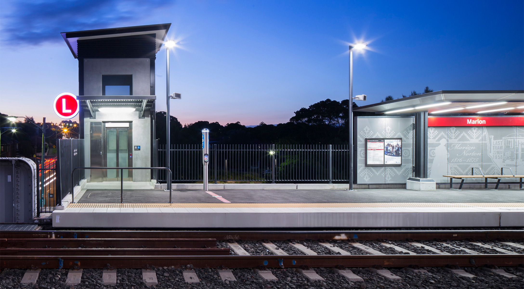
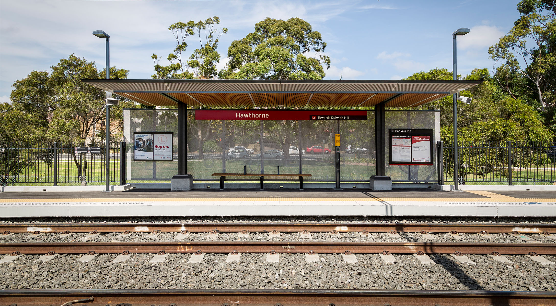
Built around a modular kit-of-parts approach, the wayfinding system ensures each sign type aligns with sequential user experience zones: from approach and arrival, through waiting, to boarding and departure, and back again. This flexible system has been deployed across nearly 60 unique sites, from dense urban hubs to quiet suburban parklands.
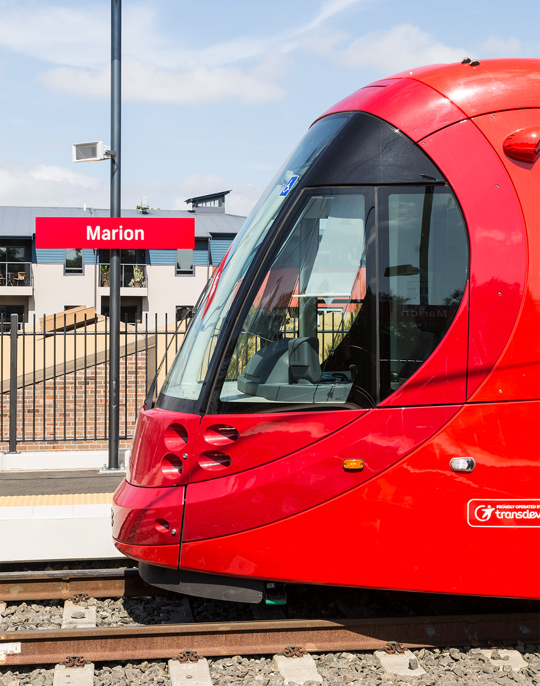
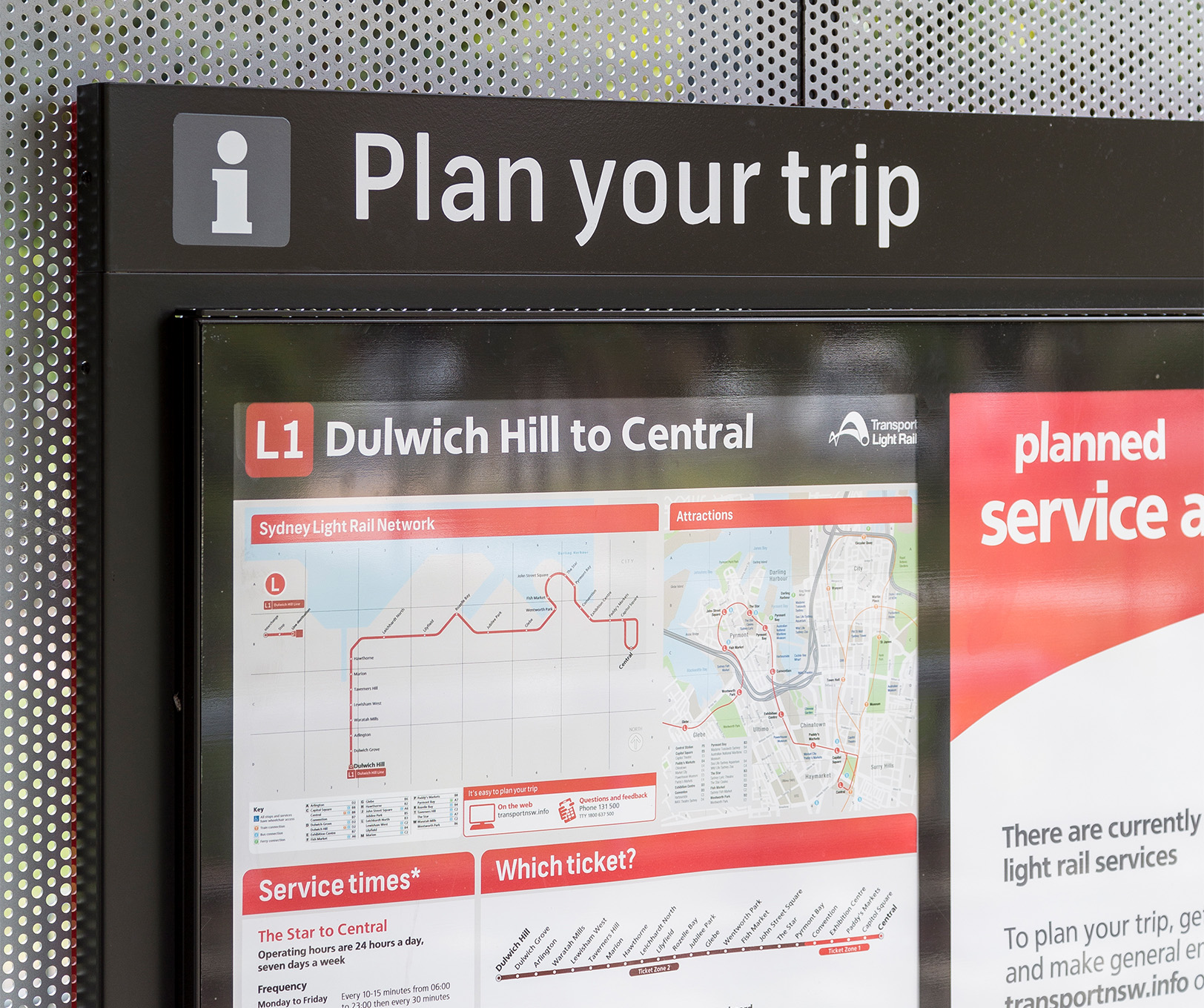
Image credits: Florian Groehn, Angus Martin, Dotdash