Mount Archer National Park
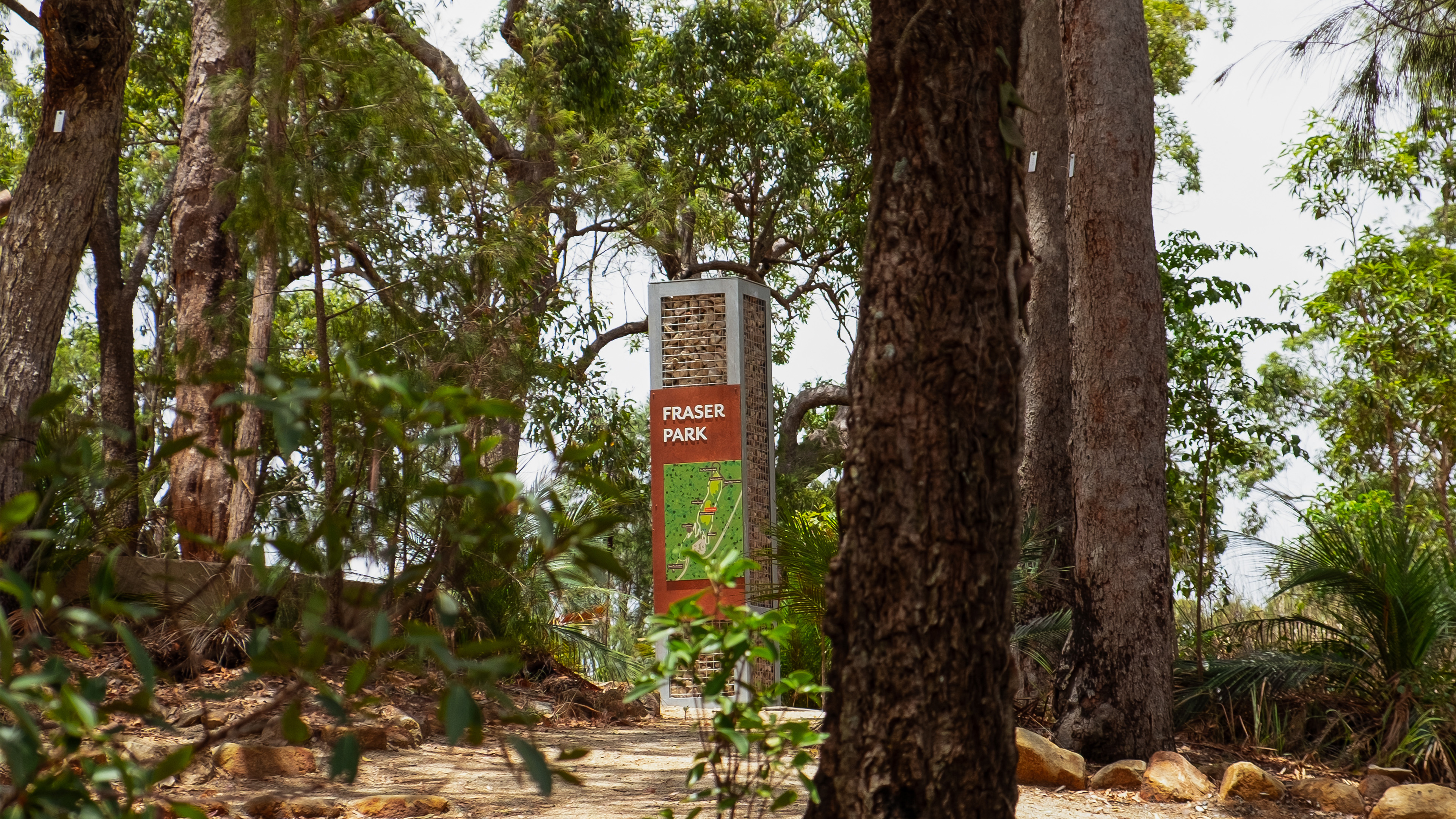
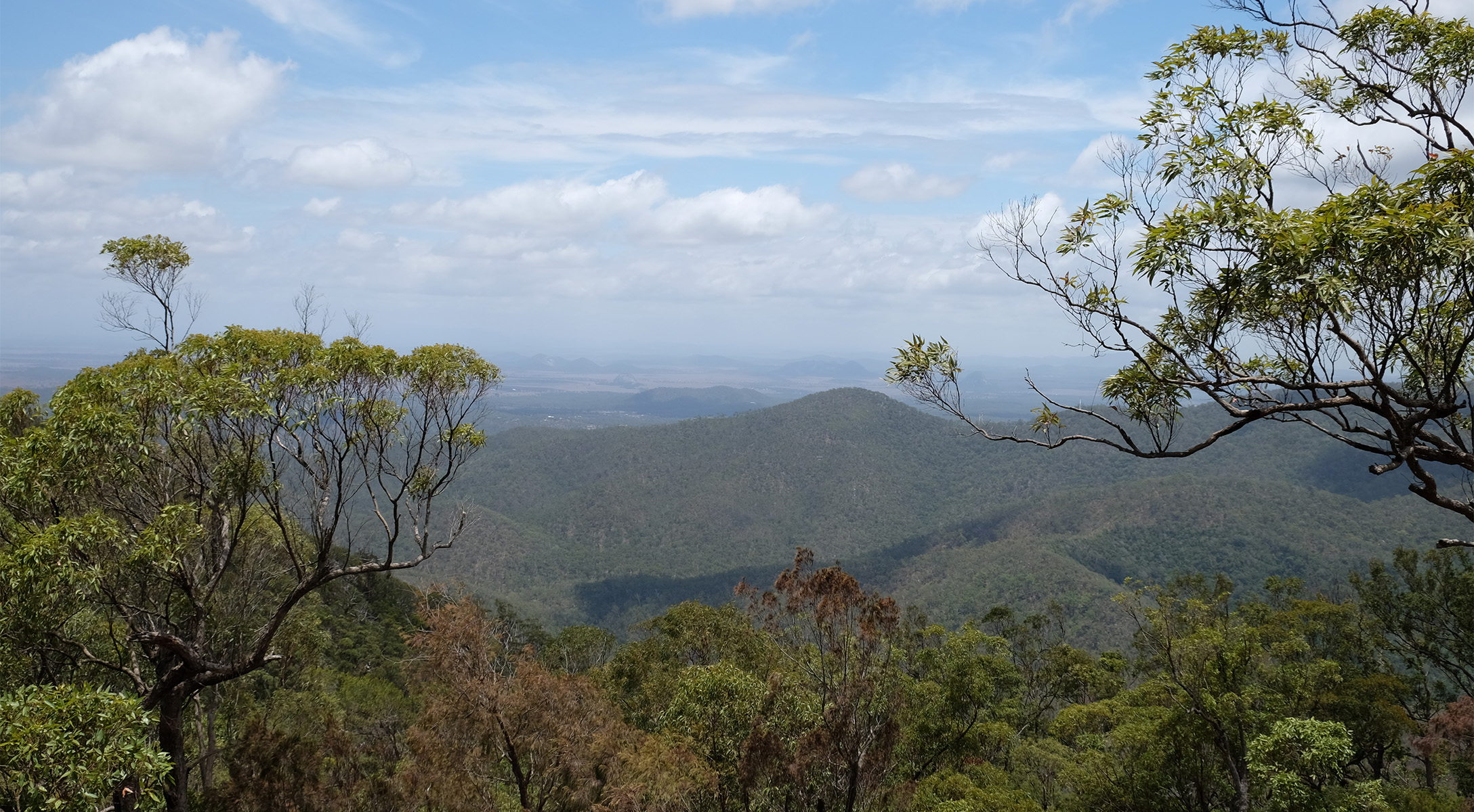
Perched high above Rockhampton, the Mount Archer National Park and Nurim Circuit boardwalk offers a 50km network of walking trails with sweeping views of the city, Fitzroy River, and surrounding ranges. More than a recreational park and lookout, it is a cultural landmark celebrating the enduring connection between the Darumbal people and Country.
-
ExpertiseWayfinding, Interpretive
-
SectorParklands
-
ClientRockhampton Regional Council
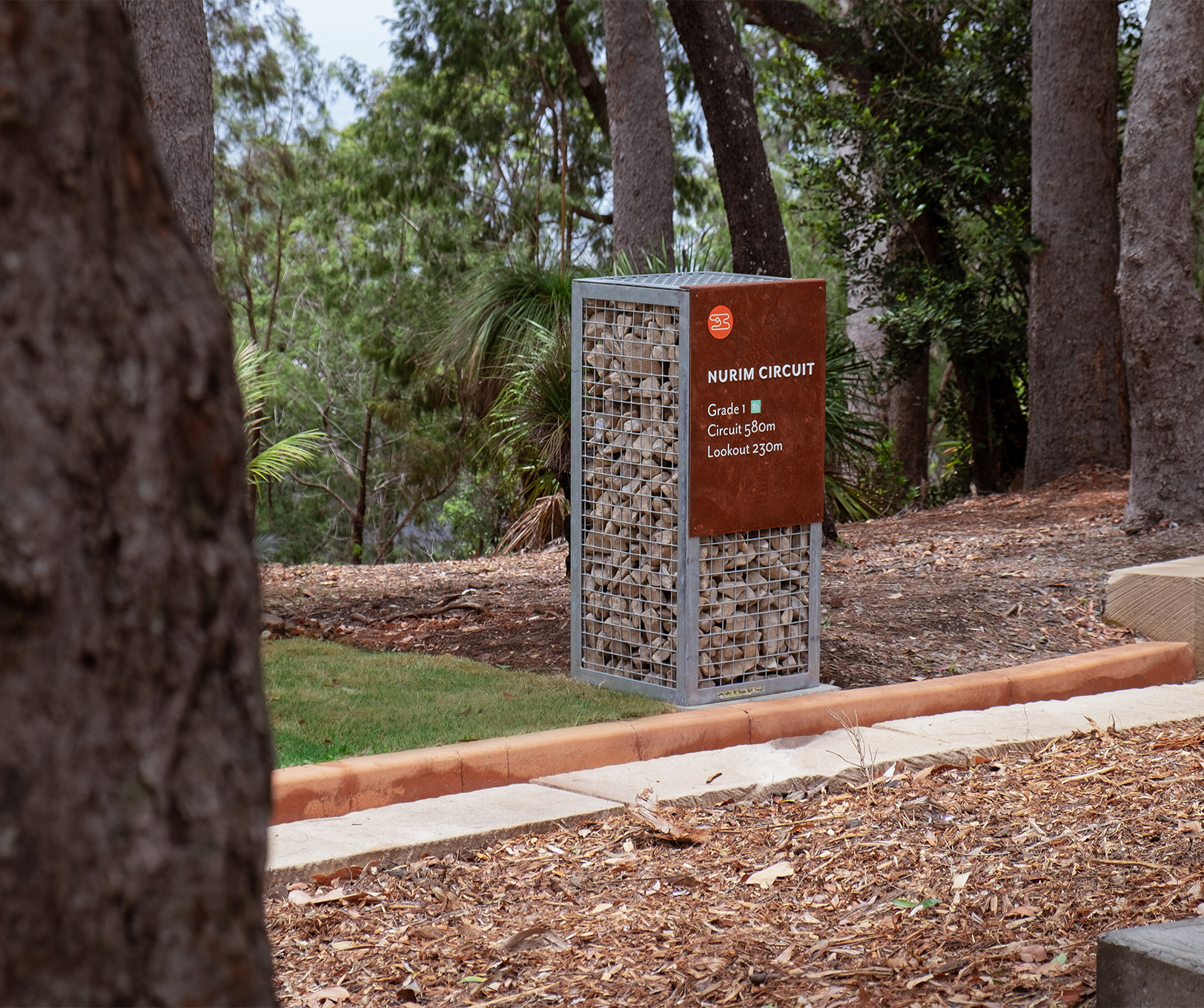
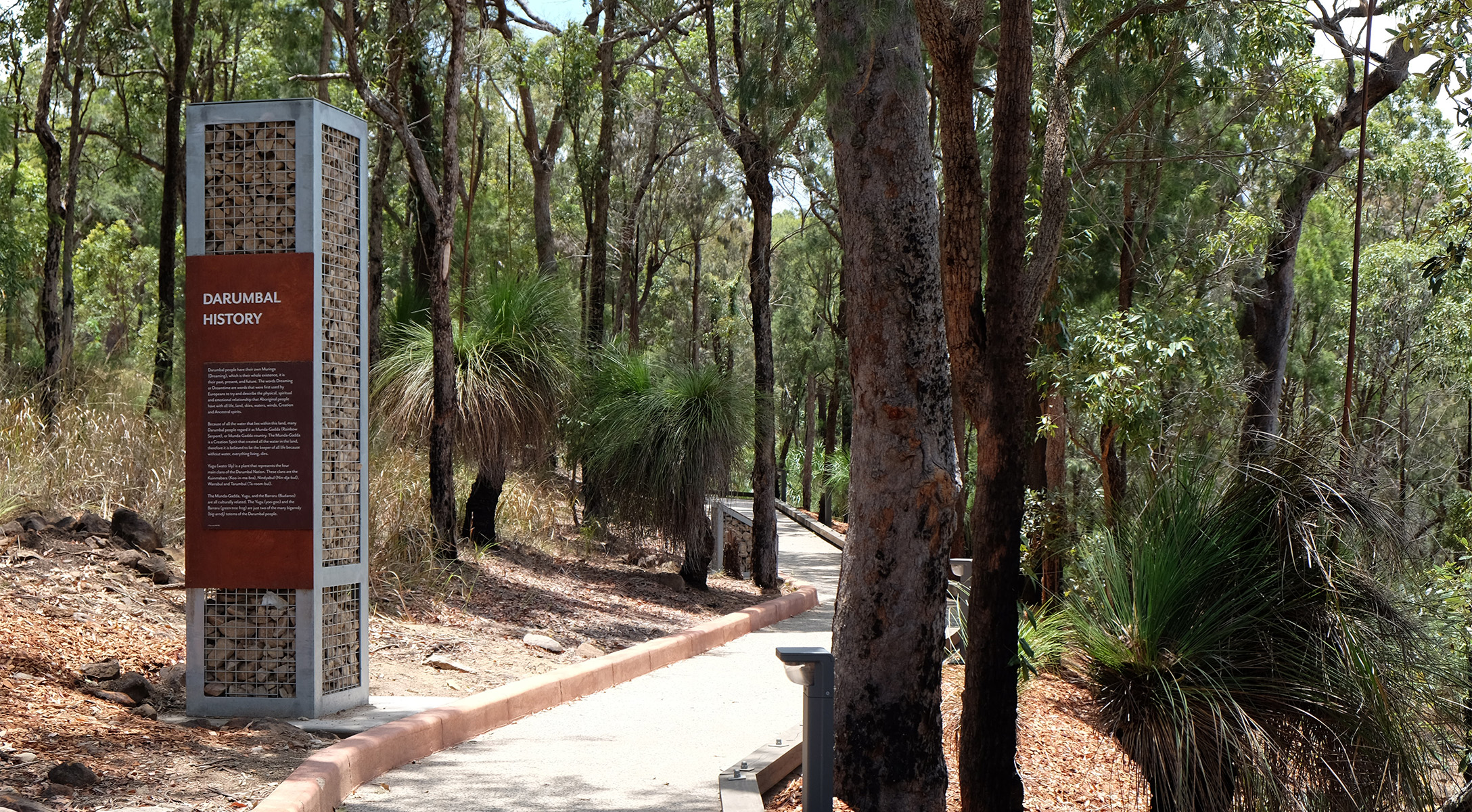
Wayfinding and trail signage is integrated into the built landscape with sensitivity and restraint. The choice of materials reflects the surrounding bushland, allowing the signage to blend naturally with the environment while maintaining legibility and durability in an open-air setting. Given the site’s remote location and the steep drive up the mountain, simple construction methods were adopted to minimise environmental impact during installation, while supporting long-term sustainability and resilience.
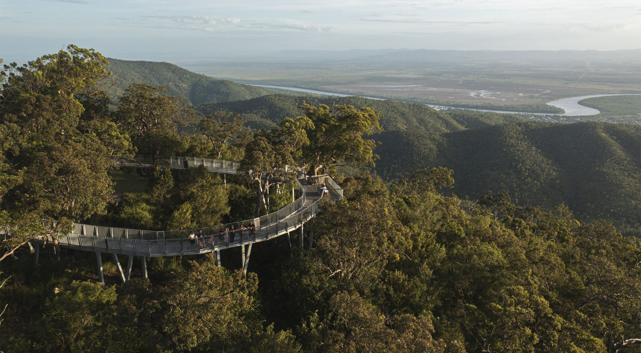
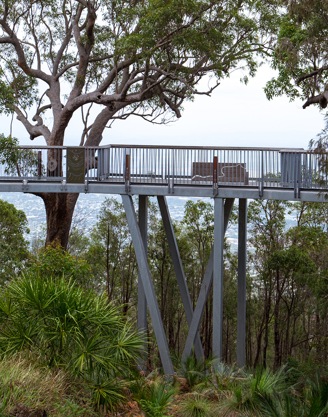
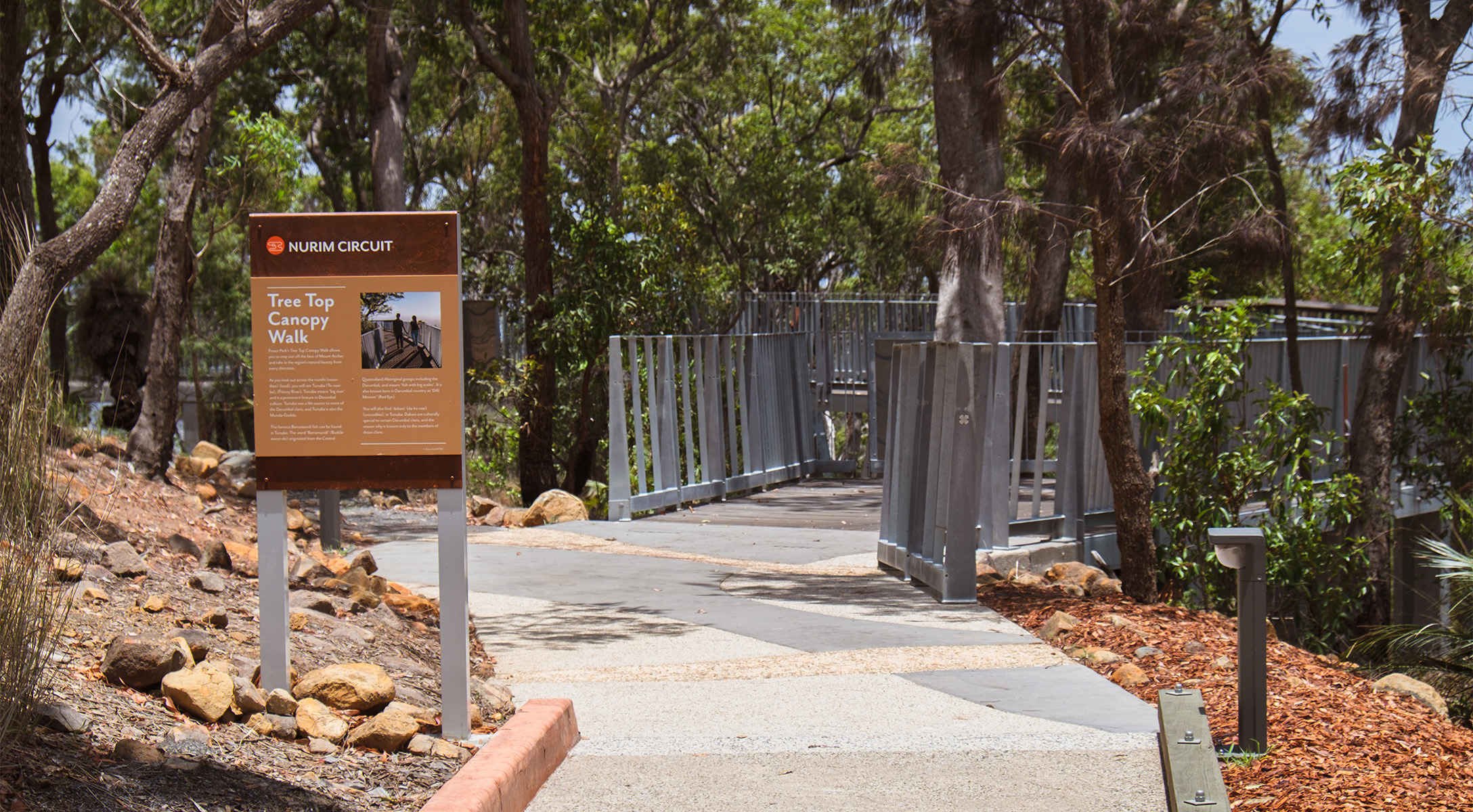
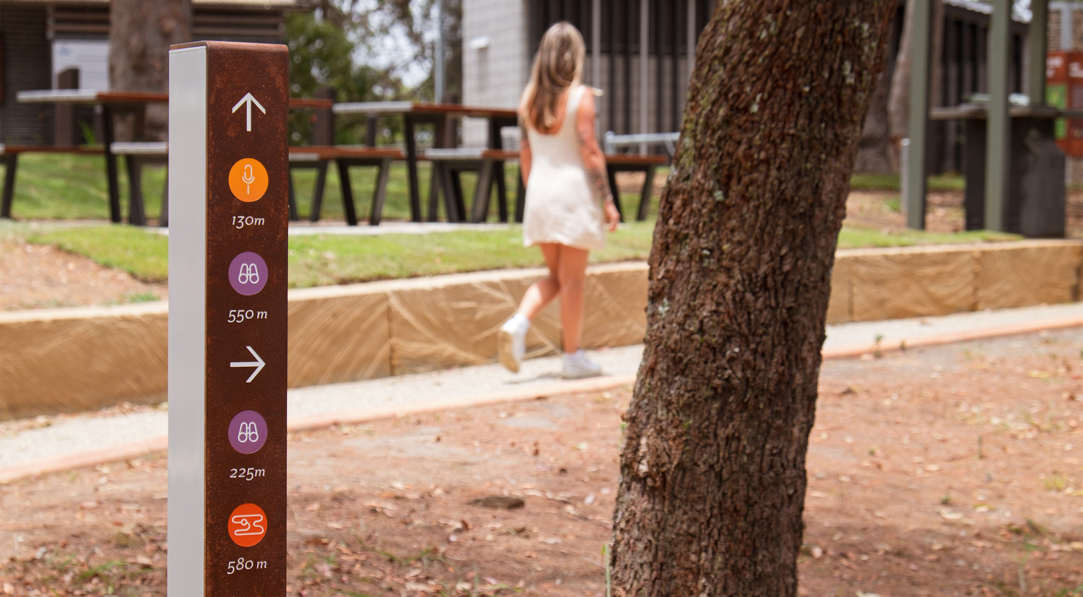
A network of lookouts and informal gathering spaces invites locals and visitors alike to explore, learn, and connect with nature while sharing the many stories of the region. Through interpretive wayfinding and signage, layers of culture, ecology, and geology are revealed, positioning Mount Archer as both a place of learning and a site for quiet reflection.
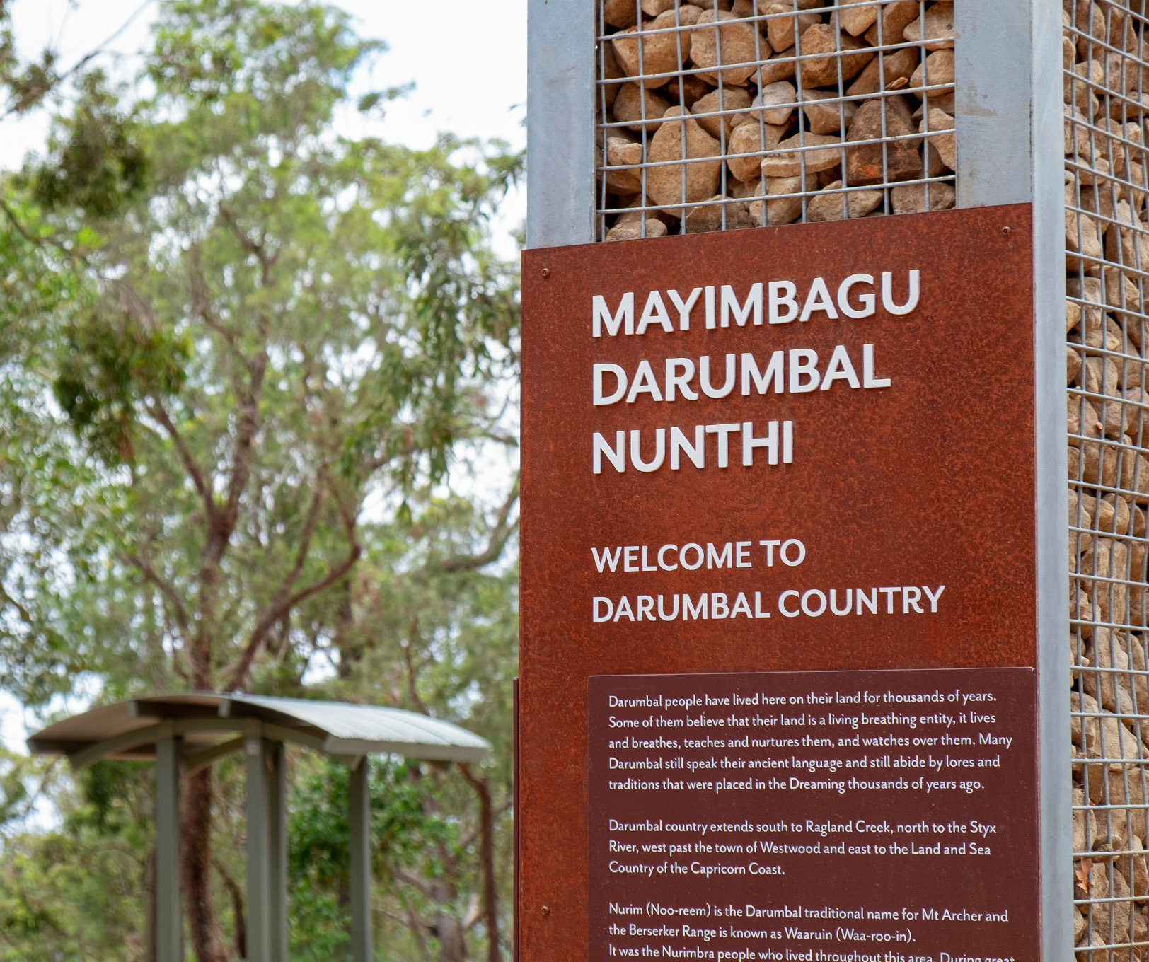
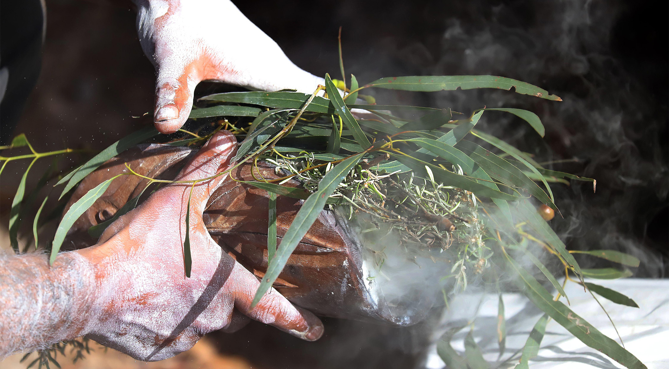
Image credits: Dotdash, Wade Mann