Caboolture to Wamuran Rail Trail
The Caboolture to Wamuran Rail Trail is a key dedicated walking and cycling connection situated along a section of disused rail corridor, between the townships of Caboolture and Wamuran. Designed to align with the goals of the Active Transport Strategy 2012–2031, the trail encourages healthier, more sustainable lifestyle and travel choices by connecting key destinations such as the local business districts, schools, transport hubs, community centres, parks, and recreational facilities.
-
ExpertiseWayfinding, Interpretive, Identity
-
SectorParklands, Active Travel
-
ClientCity of Moreton Bay
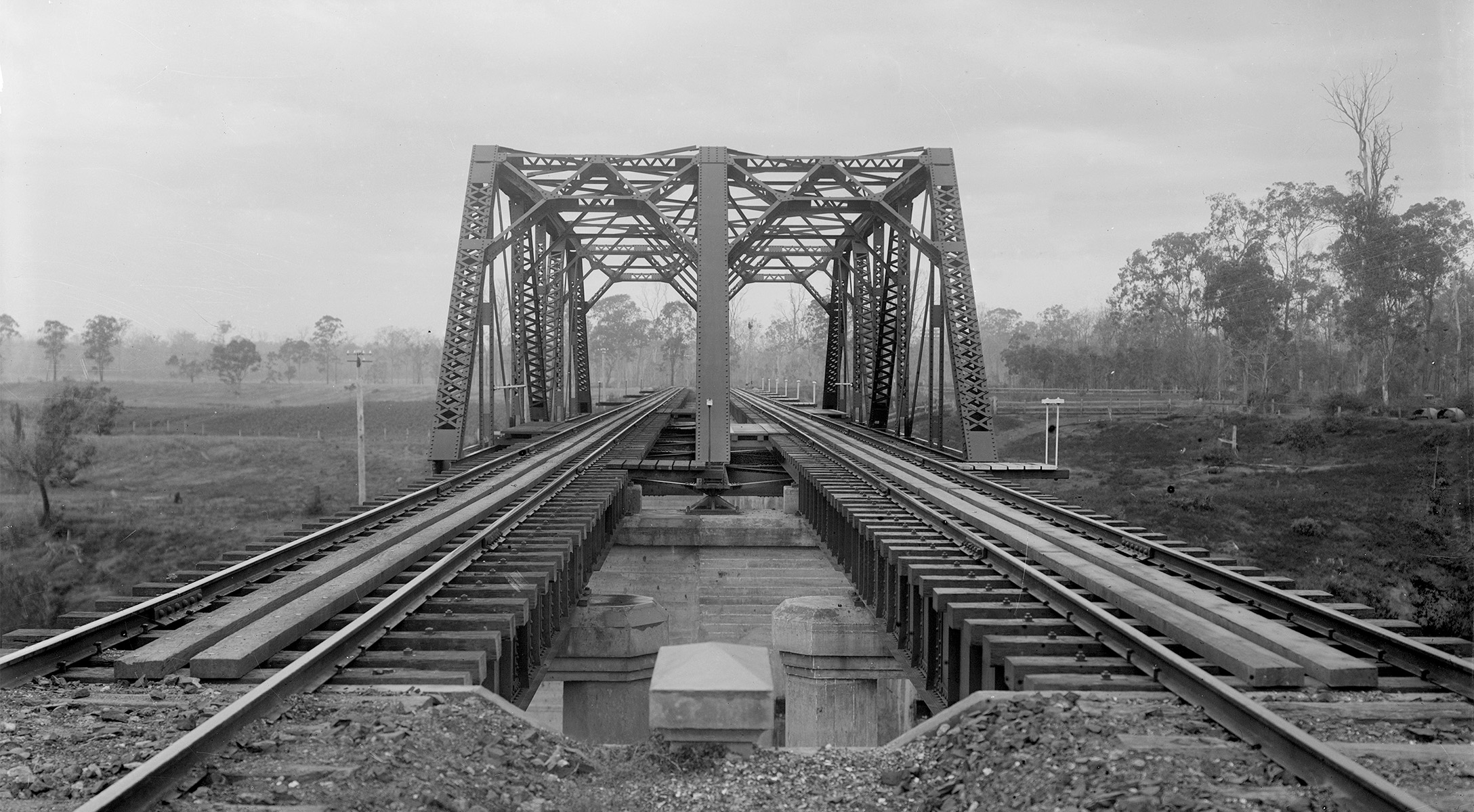
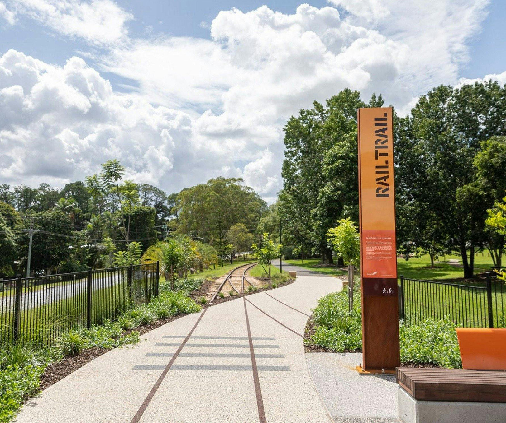
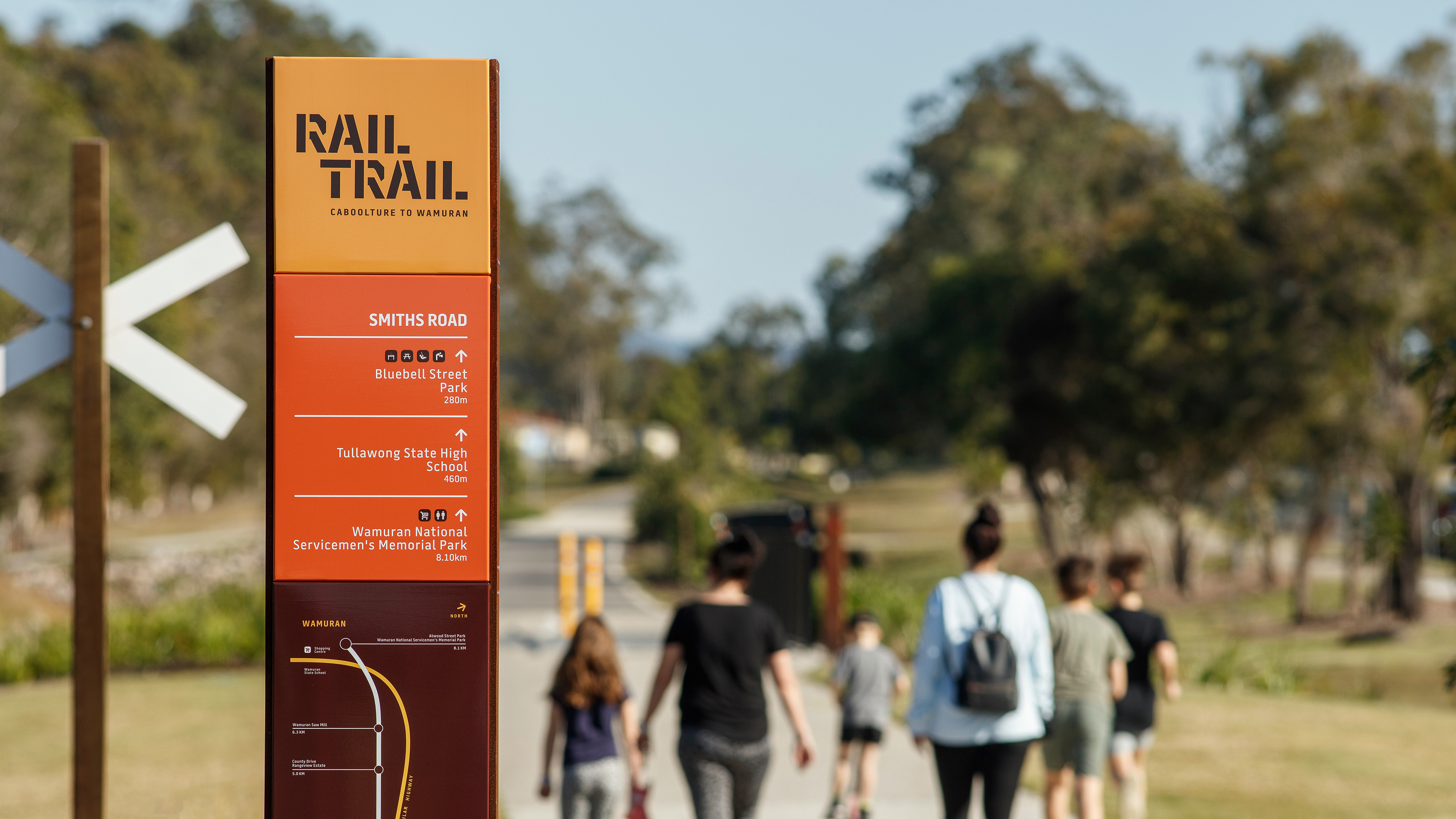
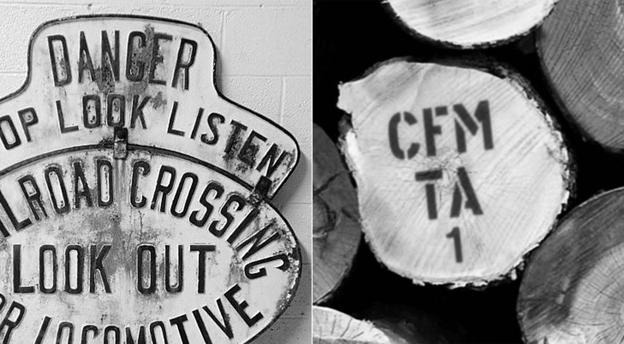
Dotdash created the wayfinding and visual identity for the Rail Trail, blending nostalgia and functionality through heritage-inspired ephemera that celebrates the rich history of the former railway. Wayfinding and interpretive elements are designed to be robust and modular, drawing on materials and forms once found along the rail corridor and in the region’s historic timber mills.
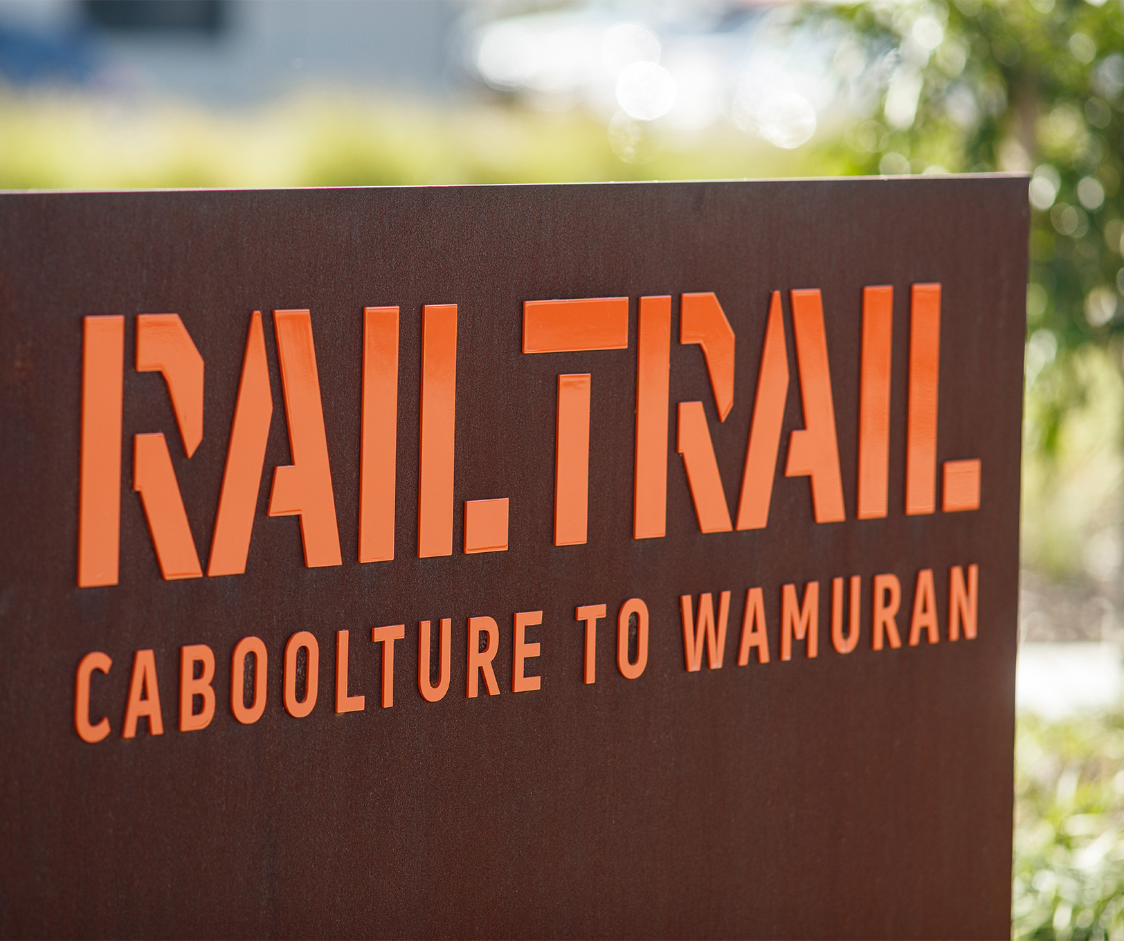
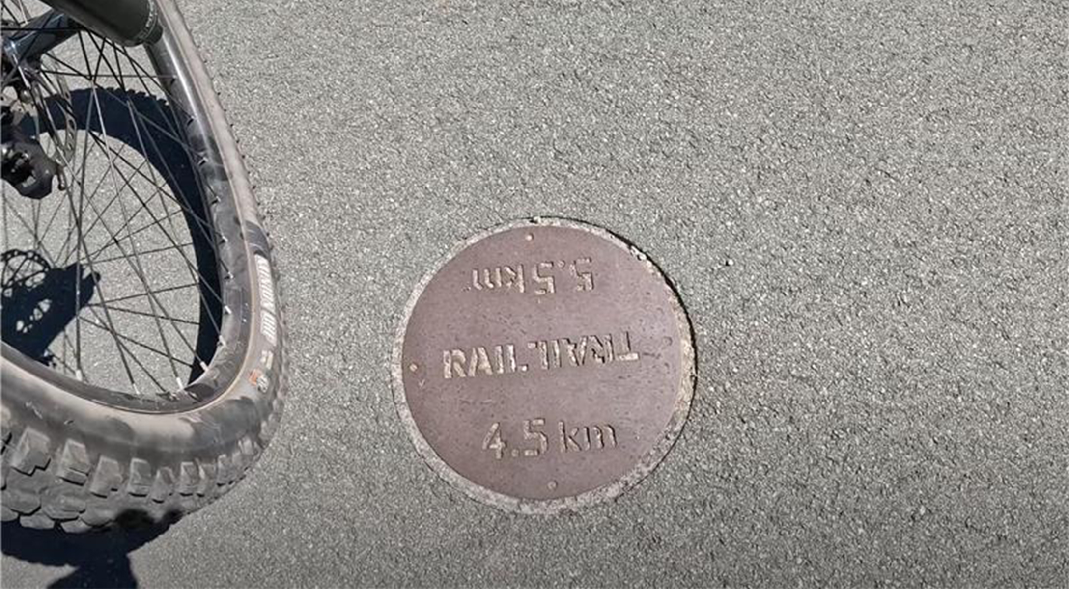
Pedestrian directional signage at key points guides visitors to the Rail Trail heads, while trailhead markers and arrival totems with journey-planning maps serve as both orientation tools and placemaking features. These elements help visitors understand their surroundings, plan their route, and connect more meaningfully with the trail. Interpretive panels share stories of the trail’s history, showcase local artworks, and highlight nearby landmarks.
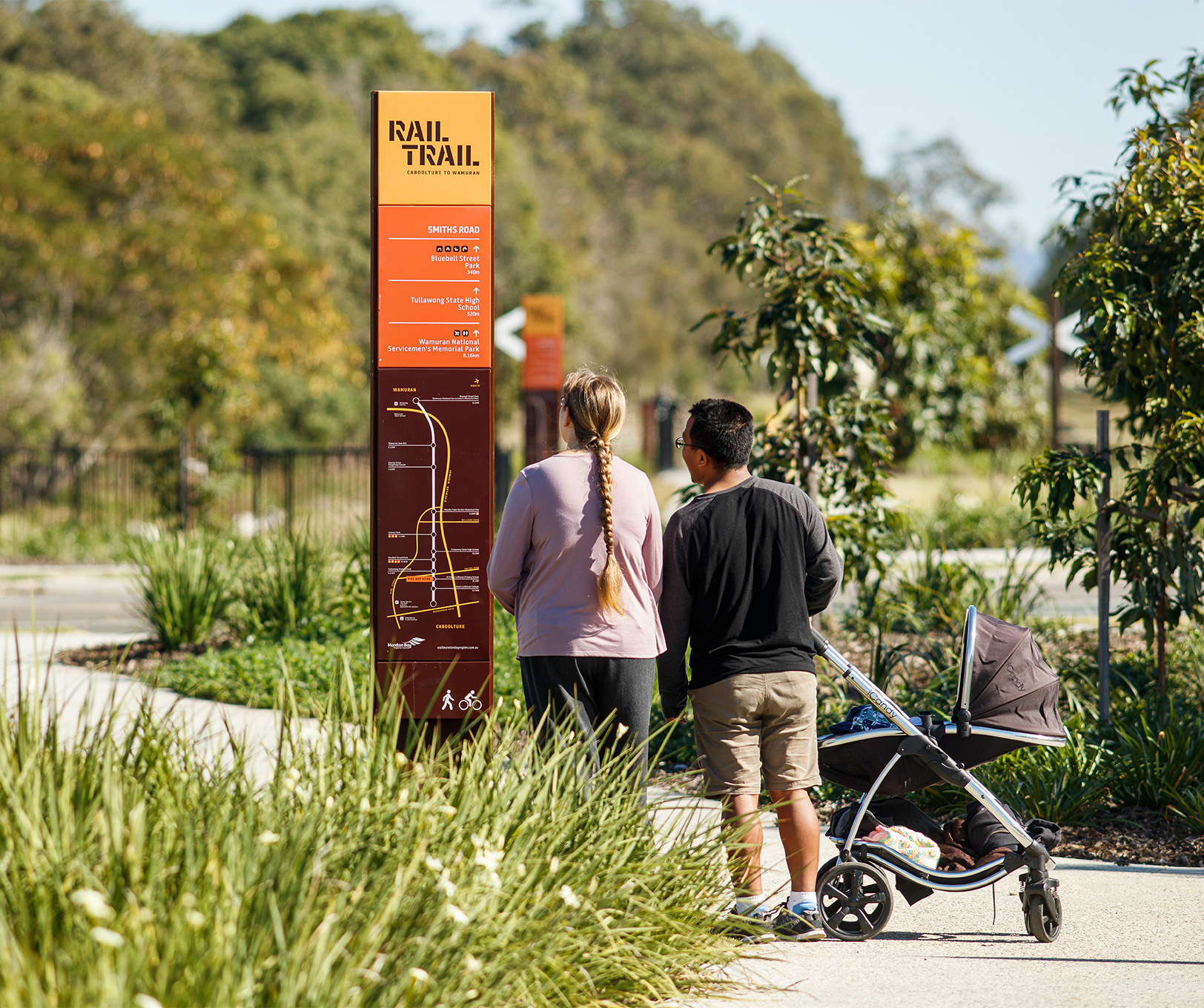
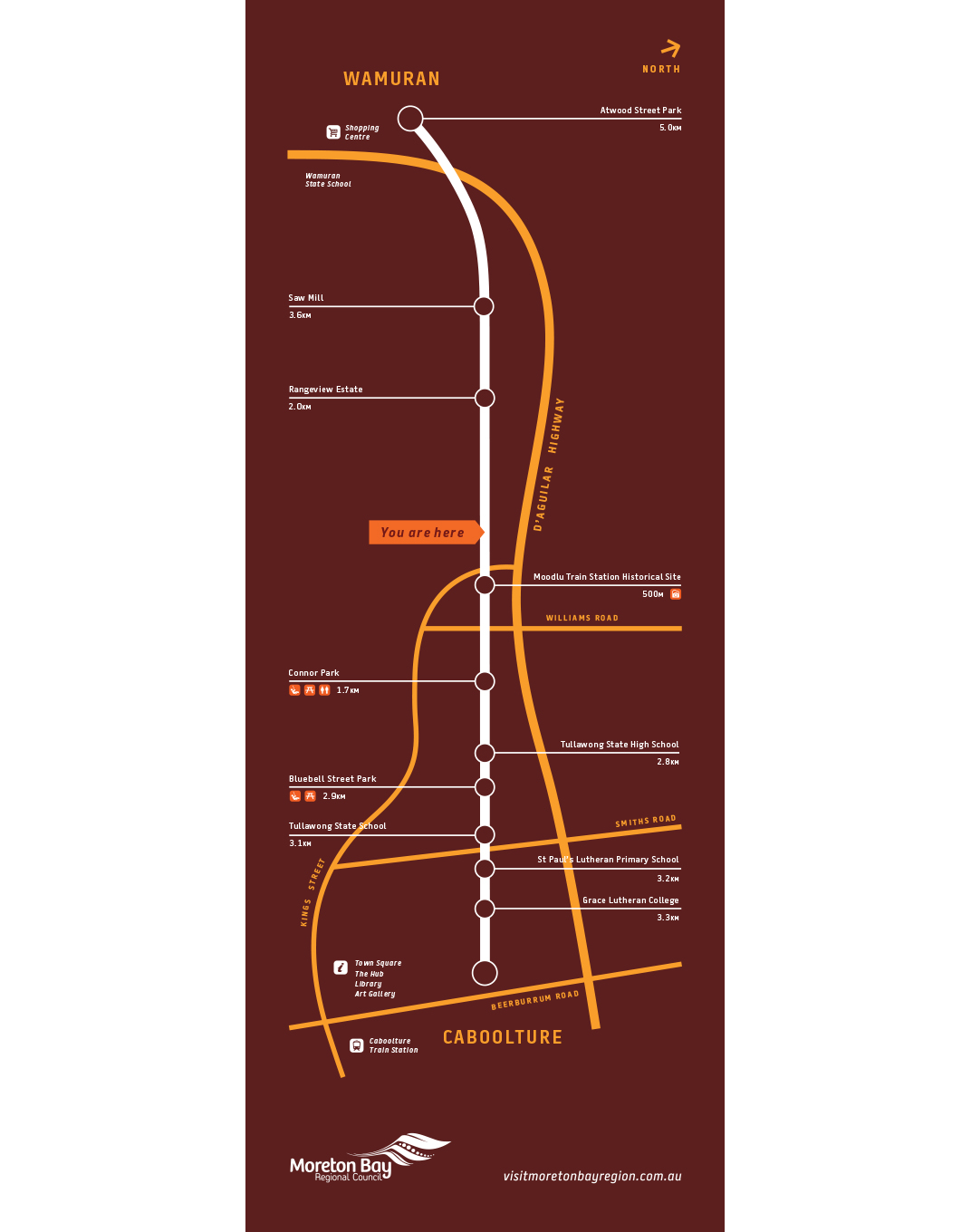
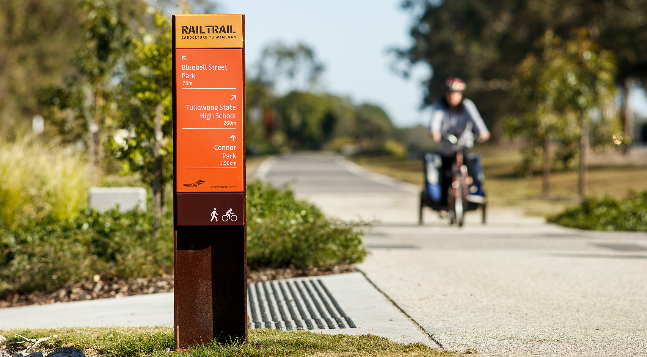
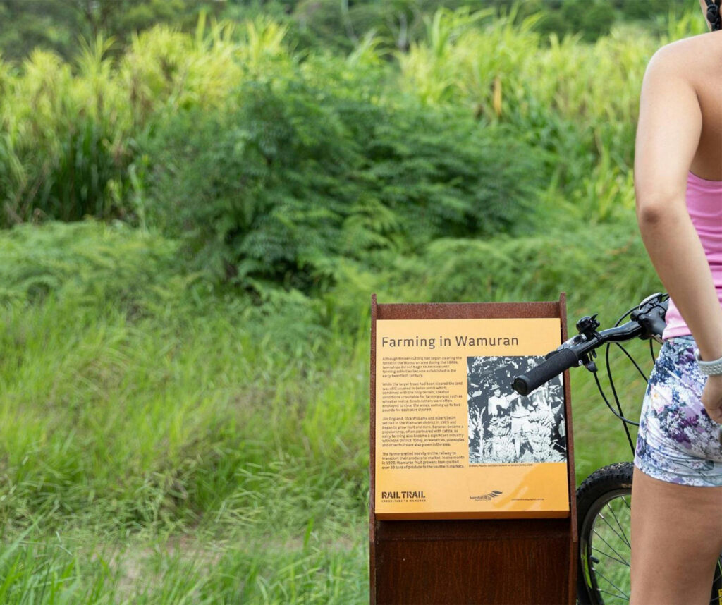
Image credits: Andrew Rankin, Queensland State Archives, Dotdash